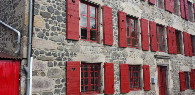
Chalinargues / Ruynes-en-Margeride
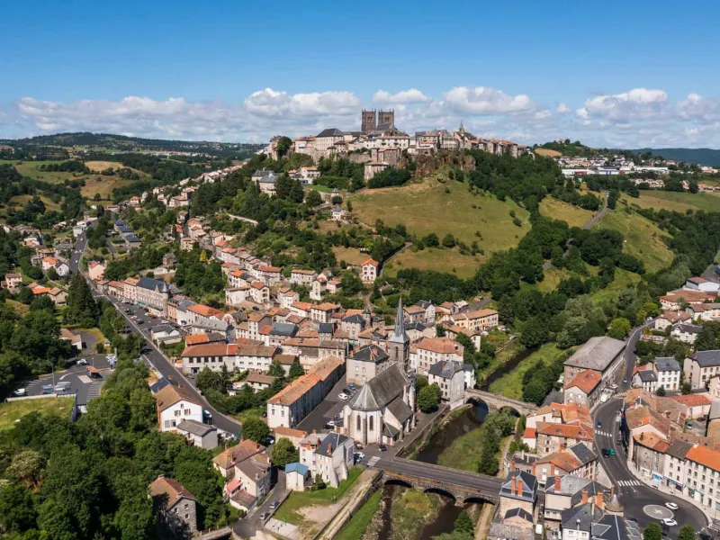
From Chalinargues, the GTMC route heads down to Neussargues, for a short stretch taking you along a singletrack that is quite technically demanding. Except for the Combe Robert and Le Sailhant slopes, crossing the Planèze area then proves fairly peaceful and comfortable, leading you up to the historic centre of Saint-Flour (awarded Ville et Pays d'Art et d'Histoire status, in recognition of its rich history). You come down from this Windy City, perched on its rocky promontory, to reach the lower town, cycling beside the Ander River for a time. Then continue through typical hedge-divided fields, past woods and meadows, to reach Ruynes-en-Margeride.
Gradients and elevation
After Chalinargues, it’s easy to cycle on to Freissinet via the wide tracks provided. There then follows a quite technically challenging singletrack, before a peaceful descent to Neussargues – but take care crossing the N122 main road. The slope at Combe Robert negotiated, the way through the Planèze area is easy, going via Coltines to Sailhant. Leaving Sailhant, ride along the road in order to avoid a very steep, technically challenging climb through woods, then it’s on to Andelat and Roueyre, before heading for the historic little city of Saint-Flour. After tackling the ascent to Saint-Georges, and negotiating the motorway interchange at Varillette with great care, you gradually ascend, almost in steps, taking well-maintained paths via Rayrolles, Le Pirou and Combechalde, to Ruynes en Margeride.
Alternative (black dotted line on the map): Chalinargues / Coltines via Le Lioran
From Murat, the Gravel route makes you climb gradually up to the Col de Prat de Bouc pass, at an altitude of 1,392m) going via Albepierre. From the Col de Prat de Bouc, take on the descent by following the GR465 national hiking path, crossing Murat State Forest. Continue on via Le Ché, Ussel and Coltines, making the most of the smooth paths through the Planèze area. From Chalinargues, the Gravel alternative way branches off at the spot called Moucher, guiding you to Murat by following the Farges Stream, then crossing the Côtes de Farges slope. On the second part of this stage, you’re led away from the GTMC VTT mountain-biking route to avoid technical difficulties, but you rejoin the classic GTMC route at the level of Coltines.