Clermont-Ferrand / Volvic The Grande Traversée du Massif Central by mountain bike
19,92 km cycling route from Clermont-Ferrand to Volvic
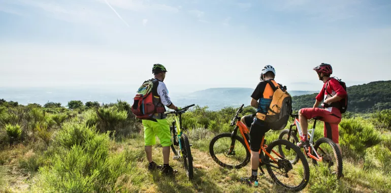
Cycling in these parts, your gaze will be irresistibly drawn to the volcanoes. The stage ends at the little town of Volvic, famed for its mineral water naturally filtered through volcanic rock.
Elevation of the stage
The route
Head out from Clermont-Ferrand station. There’s a gentle slope up to Place Delille; you need to cross this square before heading downhill opposite a large lycée (secondary school), then you cycle along a long straight line. After a series of traffic lights, the GTMC by mountain bike leads you to a tarmacked, sloping track heading up to the Col de Bancillon (a pass at an altitude of 551m). After that, a short but intense descent leads to Blanzat sports centre. You need to cycle through here, then take a tarmacked path to Blanzat. Next, a splendid portion of track takes you via fruit orchards and meadows to Malauzat. From Malauzat, head up through chestnut woods that bring you up close to the Chaîne des Puys volcanic range. Technically, these tracks prove fun and relatively easy.
Accommodation on the stage
Did you like this?


They did it!


L'aventure au coin du chemin

Travellers’ reviews