arrow_back
L'Esperou / Le Vigan Grande Traversée du Massif Central Gravel
Forest, Panoramic view, Natural parc
53,44 Km
4 h 00 min
Hard
53,44 km cycling route from L'Esperou to Le Vigan
This GTMC en Gravel stage is quite a bit longer than the GTMC VTT mountain-biking stage. That’s because the terrain is extremely steep, so the Gravel route leads you along more suitable roads and tracks for your type of bike.
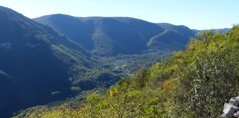
You’re now travelling through the département of the Gard and as you cross typical, well-maintained villages, you can enjoy gorgeous views over the Southern Cévennes. You pass close to the Lac des Pises, well worth a detour. This stage leads you mainly along wide tracks, but you may at times have to put a foot to the ground or even push your gravel bike. For the final stretch to the town of Le Vigan, you ride along a converted railway line, with a few tunnels to cycle through, some better lit than others.
You’re now travelling through the département of the Gard and as you cross typical, well-maintained villages, you can enjoy gorgeous views over the Southern Cévennes. You pass close to the Lac des Pises, well worth a detour. This stage leads you mainly along wide tracks, but you may at times have to put a foot to the ground or even push your gravel bike. For the final stretch to the town of Le Vigan, you ride along a converted railway line, with a few tunnels to cycle through, some better lit than others.
Elevation of the stage
1510 m 509 m
Leaving L’Espérou, the GTMC Gravel takes you through the Forêt Domaniale de l’Aigoual (a state-run forest), then you join the GR® hiking track up to the Col du Minier via the Col de Montals. At the Col du Minier, you leave the GTMC VTT mountain-biking route to head for the Lac des Pises, following the GR66 – GR71 hiking trails. From the Col de l’Homme Mort, you begin your descent towards Arre, with a short stretch on which you’ll have to push your gravel bike. To reach the end of this stage, you ride along a former railway line converted into a cycle route, but as the various tunnels along the way are more or less well lit, for your safety, use your front lamp or some other form of reliable lighting.

Travellers’ reviews