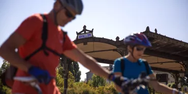
Panoramic view, Cultural heritage
23,37 Km
2 h 15 min
Average
Riom
Clermont-Ferrand

23,37 km cycling route from Riom to Clermont-Ferrand

Having crossed the village of Marsat, you enter a wonderful stretch of countryside. As you head up into the hills, enjoy the varied views, onto the Limagne Plain, Riom and Clermont-Ferrand, the last with its cathedral built from black volcanic stone and the test circuits for the Michelin tyre company famously based in the city. At Chateaugay, cellars line up, carved into the basalt rock, recalling the long wine-making past of this village. After you’ve scaled Le Bancillon Pass, dip down into the lively centre of the Auvergne’s historic and administrative capital, Clermont-Ferrand.

Elevation of the stage

346 m 376 m

After Marsat, the cycle route climbs into forest for a few kilometres, offering a delightful mix of tracks and paths. Close to the spot named Les Vergnes, you leave GTMC VTT mountain-biking route and tackle a substantial climb through the countryside. A final short but steep climb leads you to Chateaugay, then a few sections along narrow singletracks follow, to Malauzat. The long descent to Blanzat, riding between fields and pasturelands, allows you to gather your strength before the short but steep ascent to the Col du Bancillon pass (at an altitude of 551m and with several stretches up slopes with a gradient of over 10%). This ascent may cause you to put a foot to the ground at times, or even to push your bike along short stretches… as may the final descent leading down to the city of Clermont-Ferrand!

Accommodation on the stage

Did you like this?

You may also be interested in this...

Travellers’ reviews

on Riom / Clermont-Ferrand
Ratings from internet users (0) 0,0
Options & keys
Caption
Cycle path
Links
By road
Alternatives
Mountain bike itinerary
Provisional itinerary
connected route
Caption
connected route
Caption
European route (EuroVelo)
National, regional or local route
Cycling circuit
Mountainbike route
Enlarge map Reduce map