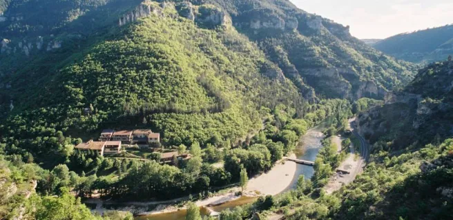
Sainte-Enimie / L'Hom
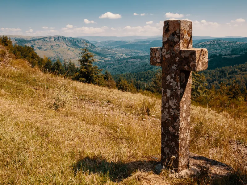
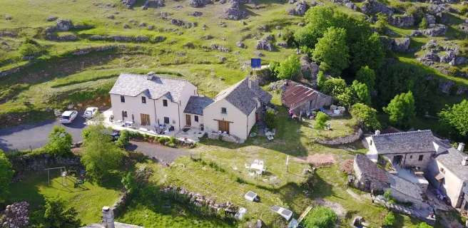
Gravel bikers continue along the GTMC cycle route by riding along a main county road up to the Col de Coperlac pass, before continuing on to the Causse Méjean, the most elevated of the Causse plateaux, its highest point at 1,247m above sea level. You cross several hamlets, and as the stage is relatively easy, you can make the most of the views, including some magnificent viewing points, both over the Causse and to the Massif de l'Aigoual mountain range.
Gradients and elevation
This stage takes you along many stretches of road, as the classic GTMC route is much too technically challenging and dangerous for gravel bikes.
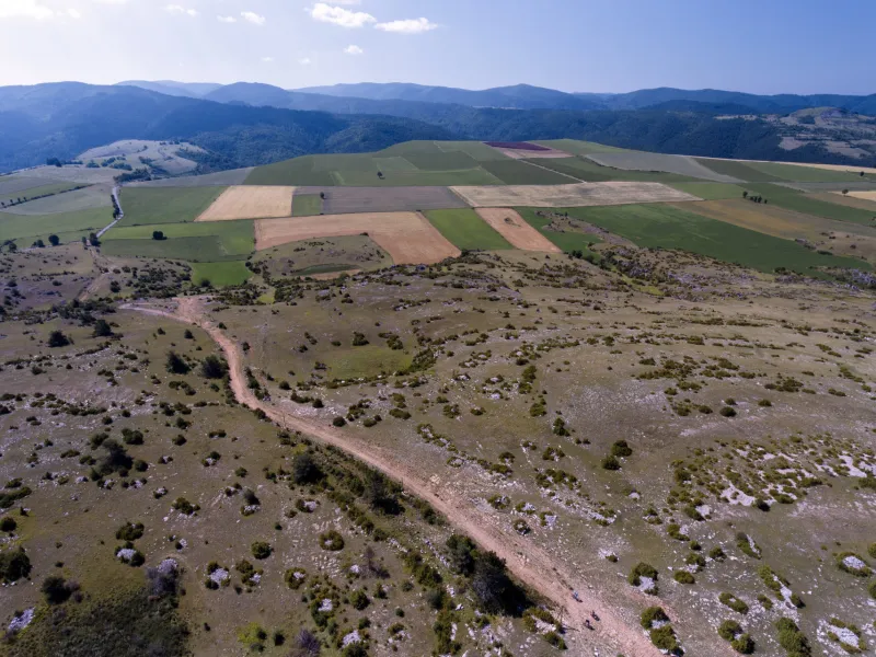
The second part of this stage, after the village of Nivolet, is along minor roads crossing the Causse. This stage ends at the level of the Col du Perjuret.
To reach this pass, you ride along another good section of road, for almost 20km, to avoid further difficult technical stretches on your gravel bike.