Chantelle / Riom
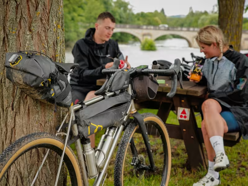
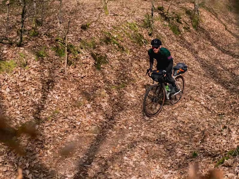
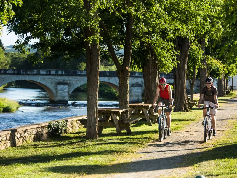
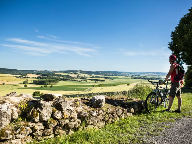
Continuing along the GTMC Gravel from Chantelle to Riom, the volcanic range of the Chaîne des Puys stands temptingly in your line of vision. You quickly reach Charroux, a member of the association Les Plus Beaux Villages de France, with many craftspeople based here. Then follow the Sioule River as far as Ebreuil, tackling a fairly hilly portion of route. The rest of this stage offers you more and more expansive views onto the volcanoes, captivating you all the way. Coming down to the flat Limagne agricultural plain, the views prove particularly wonderful, with the historic town of Riom and the iconic Puy de Dôme volcano looking splendid.
Gradients and elevation
Slope breakdown
After Chantelle you soon come to Charroux, first riding along a quiet road, then along smooth tracks.
Next, the stretch up to St Bonnet de Rochefort is easy, with no difficulties to report.
You pass close to the Château de Rochefort before arriving at the flat Plaine d’Ebreuil.
The broad, very smooth-running paths towards the end of this stage are a joy to tackle on gravel bike.