2 stages · 55 km

Gradients and elevation

Ascents: 1828m
Descents: 1072m
Lowest point: 476m
Highest point: 1561m

2 stages used

Sainte-Enimie / Fraissinet-de-Fourques

30 Sainte-Enimie / Fraissinet-de-Fourques

28 km
3 h 45 min
Very hard
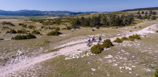
Continue cycling beside the Tarn using a track that is in parts perched quite high and technically demanding (see details below) to reach St Chely du Tarn, located on a meander in the river. A narrow, dramatic route then leads up to the Col de Coperlac, taking you up to the Causse Méjean, the highest of the Causse plateaux, its highest point 1,247m above sea level. On high, the cycling flows easily, allowing you to survey your surroundings as you cross several hamlets and to enjoy magnificent views over the Causse and the Aigoual Range.
L'Hom / L'Esperou

31 L'Hom / L'Esperou

27 km
3 h 30 min
Very hard
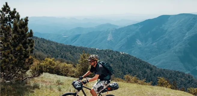
The GTMC leaves behind the Causse as you enter the Aigoual Range. At the Col de Perjuret, take in the breath-taking views of the Jonte Gorges. The route then makes you climb through the national Forest of L’Aigoual, following the path of a draille, a route taken by herds to get up to and down from the high summer pastures. Now you reach the highest point along the whole GTMC route, the summit of L’Aigoual, 1,567m above sea level, with a major meteorological observatory on the top. This is the high point of the whole route in all senses! The views from here are truly exceptional on clear days, allowing you to take in virtually a quarter of France, from the mighty Mont Blanc in the Alps to the Mont Canigou in the Pyrenees, with the Cantal Volcano somewhere inbetween! On really clear days, you can even spot the Mediterranean from up here, for the first time on the GTMC route.
Show stages